Passed the 15000 mile mark today. It was a terrible day, weatherwise! We were in a very large weather pattern that circled over us all day. Very strong winds blew heavy rain in Steve's side most of the morning; and then we had some sun. In the late afternoon the rain started again and the wind blew it in on my side. I guess it's good that we shared! When the trees were near the highway, we had to dodge small branches on the road. The leaves were blowing everywhere. The farms here are larger, huge fields of mostly corn, but also a lot of soybeans. Instead of forests there are smaller clumps of trees, and great vistas from the tops of the hills. We drove though the historic town of Galena just before crossing the Mississippi into Iowa.
 |
| Galena Illinois est. 1826 |
We are spending the night in Waterloo, Iowa.
 |
<><> <>

Wind Farm | <><>
The sky was dark and cloudy when we left Waterloo, so we left the top up. There was a cold wind blowing in my side most of the day, and then the afternoon got nice and sunny and quite warm. Steve did not enjoy the driving; the highway seams were bumpy, construction zones brought it down to 2-way traffic with big trucks passing too close or pushing from behind, and dodging holes. Then we got lost on a detour that was badly marked and without the GPS had no way of finding our way back. We ended up going into Nebraska by mistake at Sioux City, where Iowa, Nebraska and South Dakota meet. So within 15 minutes we were in 3 states.
Steve was also bored with the scenery, but I thought it quite picturesque, as I was able to look around and see the details. The farms are immense, mostly corn but also soybeans. We couldn't figure out why the crops were all dried out and dead looking. When we stopped for lunch in a tiny town with one coffee shop it was filled with farmers talking about their crops and tractors and such. So I went to one of the tables and asked them why all the crops were dead. They explained that the corn is used to produce ethanol and has to be dry. They said they don't grow food quality corn here. Producing ethanol does not destroy the protein in the corn so it can still be used to feed cattle. The soybeans are used to produce food oil.
We had some time to ponder what we have learned on this epic journey. Of course there is all the geography, geology, history, anthropology, biology, zoology, botany and all the other "ologies". All that will take a while to sink in. We have learned to do a blog, though we still fight with the layout. We've honed our navigation skills, with and without a GPS. We've learned how to make a very few clothes last till the next laundromat. Though wearing my underwear more than one day is a skill I'd like to live without. We've learned how to pack and unpack more efficiently, how to fix things that don't work in motel rooms, and how to make ourselves more comfortable in less than ideal conditions. Now all this might sound like not much fun, but it is satisfying to use your adaptability and common sense to make things into an adventure rather than a negative experience.

So here we are in South Dakota heading for Kadoka, we live on Kadota and our cat is named Dakota!
 |
| Missouri River |

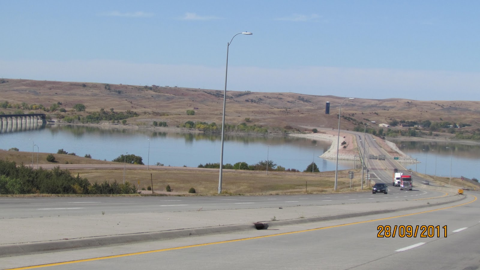
The scenery is much the same as yesterday, corn, soybeans, and hay. At least the hills are a little bit rolling. We crossed the Missouri River and the crops changed a bit to red corn and sunflowers, as well as cattle and a lot of hayfields.
Richard and Linde were waiting for us here in Kadoka, South Dakota and we are off to see Rushmore and the Bad Lands tomorrow.


 A drive to the Badlands was next.What an awesome place that even pictures can't describe! Beautiful rock formations wherever one looks. Right about here the "A"s alternator packed it in. A decision was made to return to Wall and try to find someone to repair it. No rebuilders in town, but one shop did recharge the battery to enable us to get to Rapid City for repairs.
 On Friday morning we found a battery and starter/alternator repair shop. Got there at eight, removed the alternator, gave it to them and it was repaired and back in the car by 9:15, at the horrendous price of $39.95. What great luck!


 We then returned to Keystone via the Iron Mountain Road, completing the circle around Mount Rushmore. This road is so twisty it needs 3 Pigtail bridges to make the turns. On one of them the road passes out of a tunnel, then over the bridge and around and down under the road. These roads are all built for the sheer pleasure of driving them and seeing the spectacular views!

 Sat Oct 1st - We thought a 20 minute stop at Crazy Horse would be enough, but we ended up spending a lot of time there-it was so interesting. It was designed and started by a sculptor named Korczak Ziolkowski, in 1947. He made it his life's work untill he died in 1982, when his wife and 7 of his 10 children continued the monumental task. Korczak would not accept government funding or involvement, and the project has continued solely on public donations. There is so much information on this site, it would be worth your time to look it up on the internet. The plan is to establish a university there for native studies, as well as a bunch of other stuff. It is so big the Rushmore monument would fit on Cheif Crazy Horse's forehead. It is 580 feet high.

 We drove around the back of Mount Rushmore again along a different road to see Jewel Cave, but that didn't work out, so we headed South through Wind Cave Park to Hot Springs. At this point Richard and Linde decided to go back to the hotel and Steve and I wanted to see the Mammoth Site at Hot Spring. We were tired but so glad we took the time to go. It is a sink hole about 100 feet in diameter that filled with water and trapped hundreds of animals. They did a core sample to 68 feet and found bones in all of it. At this point they have only dug to 27 feet. The decision was made to leave the bones in situ rather than preserve and remove them as they do at other sites. A building was built over the whole site so it is all indoors and protected from the elements. As they go deeper they will remove some of the bones, but some skeletons are so valuable because they are all attached and complete, that they will not move them. I'm not sure how they intend to dig under them, though. We were amazed to learn that there was a Mammoth larger than the Woolly Mammoth, called the Columbian Mammoth. A modern elephant could walk under it's chin. All the skeletons are males, which is because the males travelled alone and would not know the danger of this area, as the herds of females would.
  Another very nasty creature found here is the Short Faced Bear. If you met one of these in the woods there is absolutely no way you would survive!! Standing on it's hind legs it could reach a second story window.